


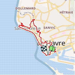


4,8 km | 5,9 km-effort

Usuario


Aplicación GPS de excursión GRATIS
 SityTrail
IGN / Institutos geográficos
SityTrail World
El mundo es suyo
Ruta Senderismo de 14,2 km a descubrir en Normandía, Sena-Marítimo, El Havre. Esta ruta ha sido propuesta por tracegps.
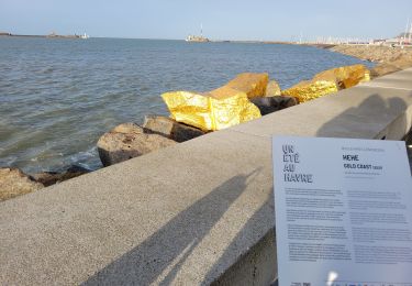
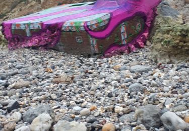
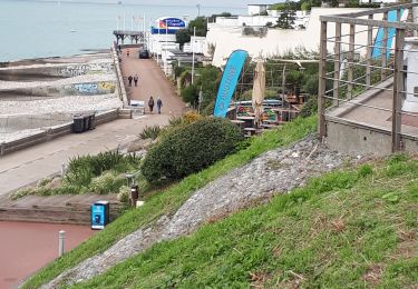
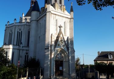
Découverte de la ville du Havre, son port, sa plage et son "nice havrais". Départ du parking du quai des Abeilles, Chaussée John Kennedy.


A pie

Senderismo

A pie
Senderismo
Senderismo
Marcha nórdica
Senderismo
Senderismo
Senderismo